AlphaEarth Foundations Unveils Comprehensive Digital Twin of Earth's Surface
Summary
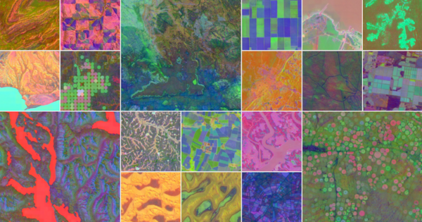
AlphaEarth Foundations unveils a comprehensive digital twin of Earth's surface by integrating petabytes of data from satellites, radar, and climate simulations, enabling detailed mapping for ecosystem monitoring, agriculture, and more.
Key Points
- AlphaEarth Foundations integrates petabytes of Earth observation data to generate a unified digital representation of the planet's land and coastal waters
- The model provides a detailed, consistent view of the world by combining data from various sources like satellite images, radar, and climate simulations
- Organizations around the world are using the Satellite Embedding dataset powered by AlphaEarth Foundations to create custom maps for applications like ecosystem monitoring and agricultural analysis